-

Survey, GIS &
Land/Right of Way -

Cost Effective- UAS/ Aerial drone survey methods
-

Light Detection and Ranging
Encompass Services, LLC.
What Makes Encompass Different
Encompass provides a network of exclusive, one-of-a-kind services to help you accomplish your projects.
Specialized Technology
Bluesky Development (Automated Mapping Tool)
DataHalo (Automated Data Management Tool)
UAV Drone Services (Remote Data Collection Method)
LiDAR/Aerial Mapping (Remote Sensing Technology)
GIS Development
Commercial Value
Volume based rate structure plans and early payment discount options.
Depth of Resources
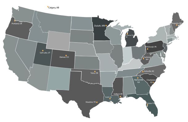
Licensed throughout the United States with specialized resource depth in both the field and office production positions.


